Area Activities
Make Big Rock Candy Mountain your home base
while you explore some of the amazing things to do in the surrounding area.

Candy Mountain express bike trail Rentals
The paved Candy Mountain Express Bike Trail follows part of the route of the former Marysvale Line of the Denver & Rio Grande Western Railroad, which was decommissioned in 1976. The trail affords splendid canyon scenery, with colorful rock formations and views of the Sevier River. You will see old mining and railroad sights along the way, and maybe even some deer or wild turkeys. From Sevier Junction south, the trail crosses Clear Creek and the Sevier River, entering the canyon. Here it passes by the 200-foot-long Eagle Rock tunnel, built in 1896. Historical markers tell of the railroad's history. South of the tunnel, the trail winds along the river through the canyon and ends near where you can cross the river to Big Rock Candy Mountain Resort. Here you'll find lodging, refreshments and restrooms.
BIG ROCK Candy Mountain atv rentals
Big Rock Candy Mountain Resort offers the largest and newest Polaris ATV and Side by Side fleet on the Paiute Trail. If you are looking for a short ride or looking to spend multiple days exploring the Paiute Trail, we have a Side by Side or ATV for you. For your convenience, your ATV rentals are delivered right to the gas station at Big Rock Candy Mountain Resort.
Book online through the link below.
BIG ROCK Candy Mountain tube rentals
Looking to float the "lazy" river while staying at Big Rock Candy Mountain? We've got several options for you. Inside our convenience store (and through online booking) we offer tube rentals. We even offer the option to rent a floating cooler to keep cold drinks at the ready. Visit the link below to book your next great water adventure!
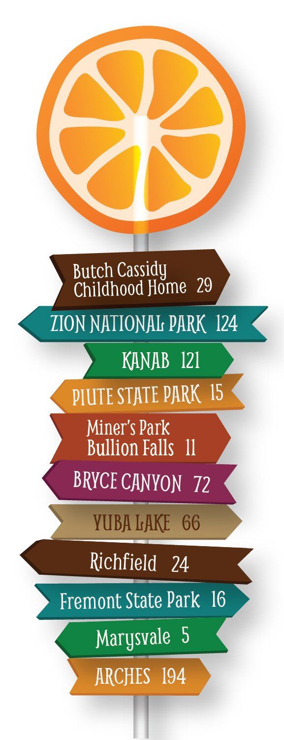
Butch Cassidy Childhood Home
Piute State Park
The Paiute Trails
A popular local attraction for the fans of the wild west and its infamous figures. Come see where Butch Cassidy's life got started! 29 miles
Outdoor enthusiasts will love Piute state park. You'll enjoy amazing fishing in the reservoir, Paiute Trail access, hunting, boating, and more! 15 miles
With over 2500 miles of groomed ATV/UTV trails, this trail takes you high up into the mountain, far out in to the desert, through creeks, over hills, and everywhere in between. This is off-roading at its finest! 5 miles
Fremont Indian State Park
Cove Fort
Marysvale
Native American history buffs will enjoy this state park full of petroglyphs, pictographs, and artifacts. Enjoy hiking trails through the park, all located just a few miles from Big Rock Candy Mountain. 16 miles
One of the few historical forts of its type still standing, Cove Fort provides a unique historical glimpse into pioneer life during the 1800's. 31 miles
Marysvale, UT is a peaceful town that is 'Rich in History'. Providing close dining options, souvenir shops, and historical tours, this is a must see on your trip to Big Rock Candy Mountain. 5 miles
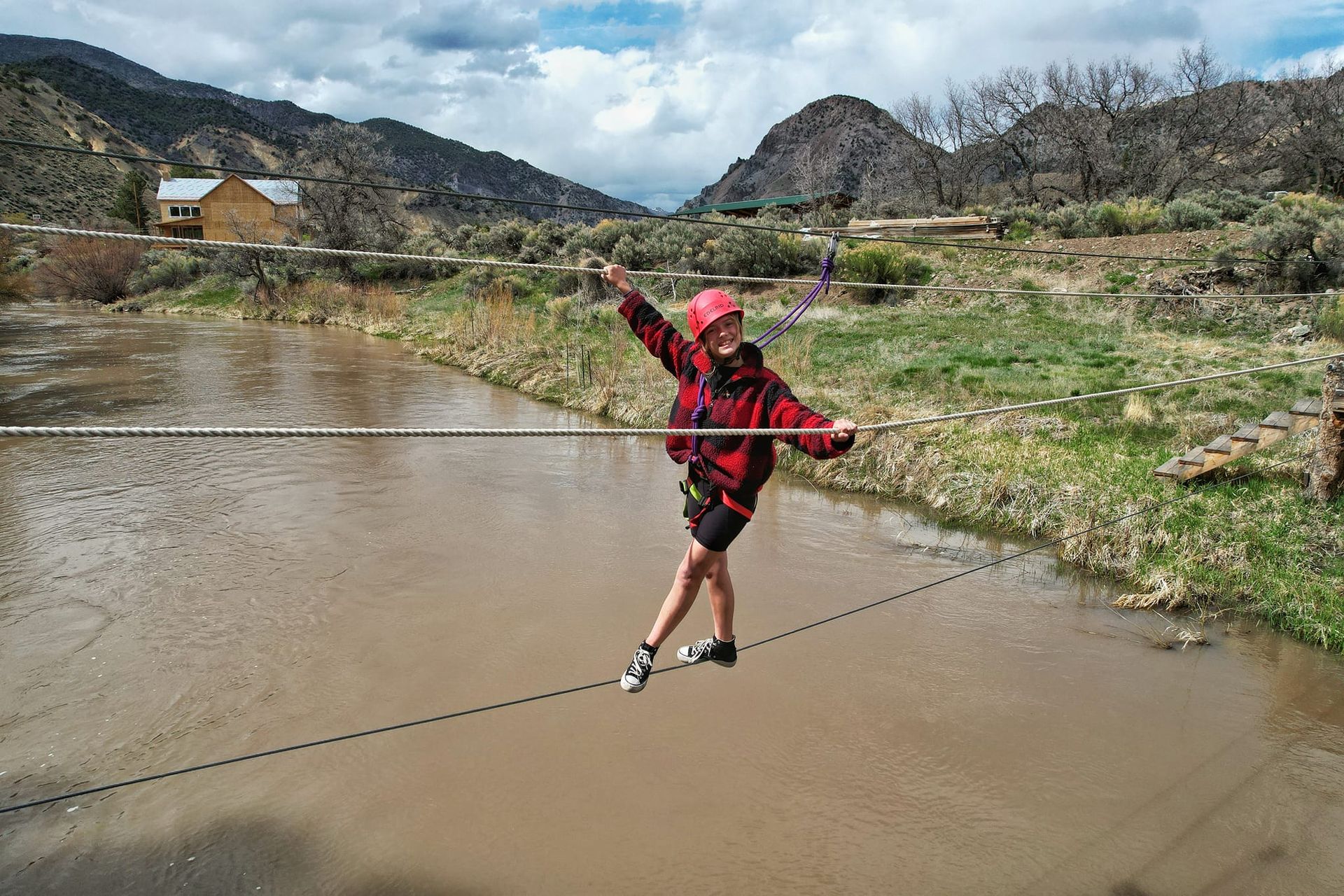
BIG ROCK ADVENTURE
Big Rock Adventure is located at the Big Rock Candy Mountain Resort along the Historic Heritage Highway 89, in Sevier County, Utah. Just five miles north of Marysvale, UT., Big Rock Adventure provides the best of west adventure. Our guides will help you experience numerous recreational activities including Whitewater Rafting, Ropes Courses, Ziplines, and Via Ferrata Courses.


Slide title
Write your caption hereButton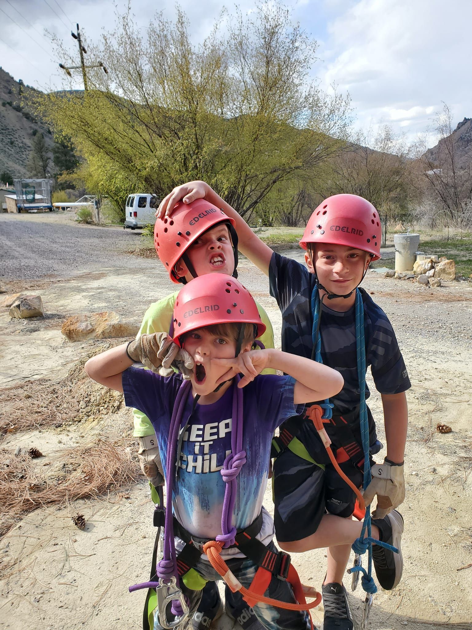
Slide title
Write your caption hereButton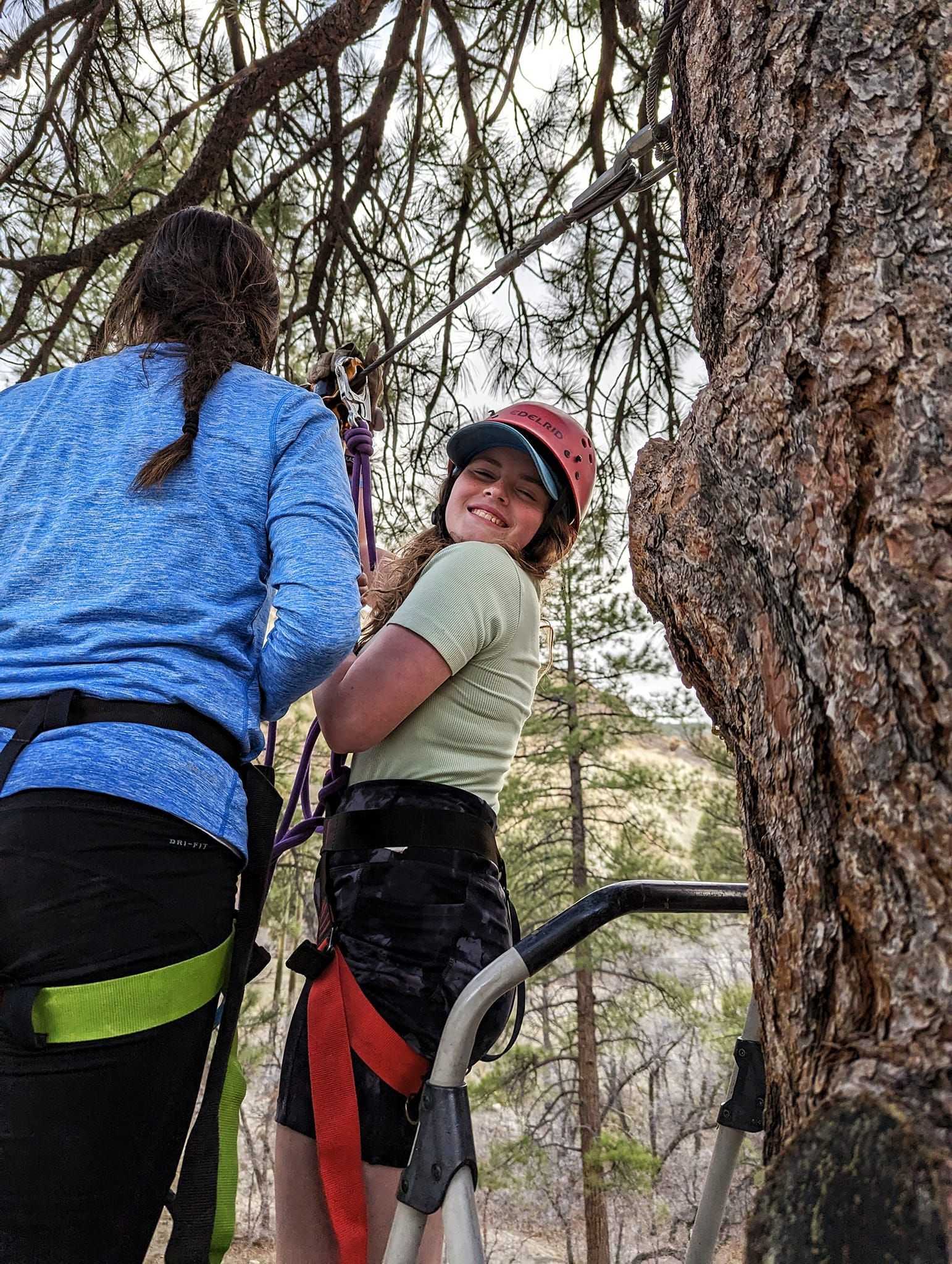
Slide title
Write your caption hereButton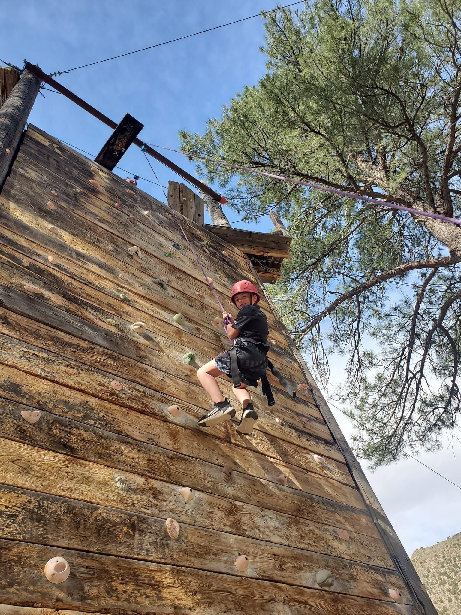
Slide title
Write your caption hereButton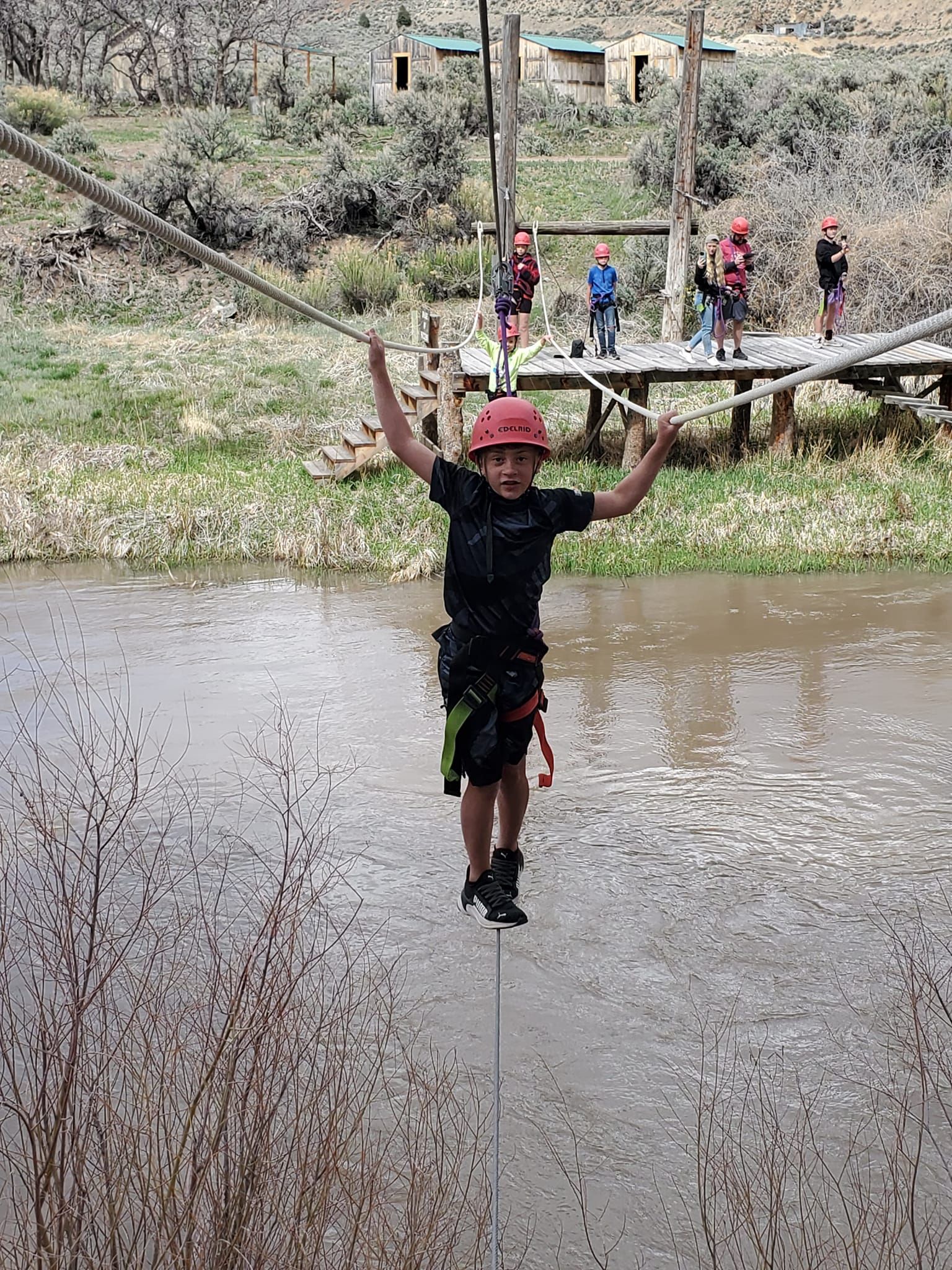
Slide title
Write your caption hereButton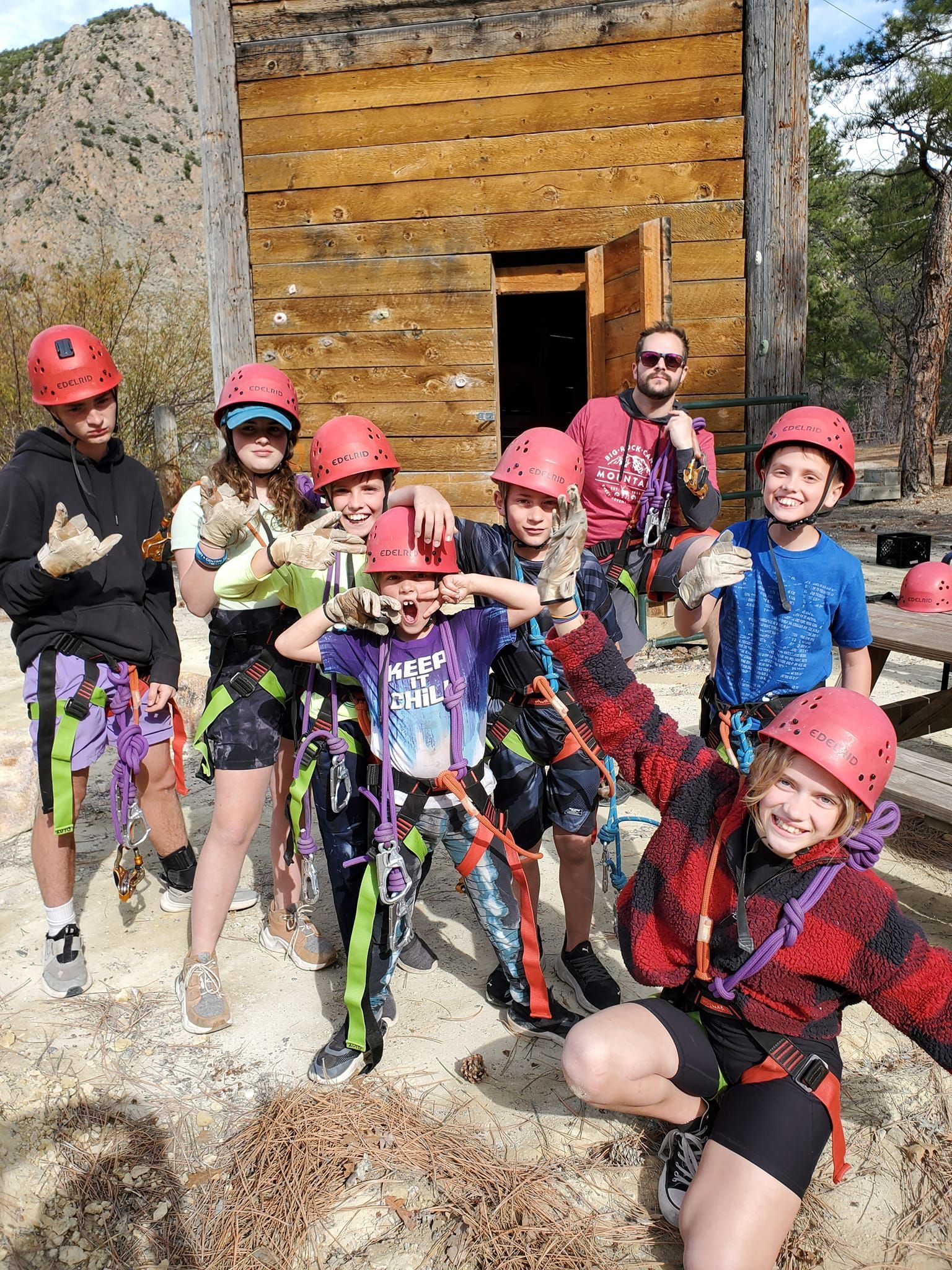
Slide title
Write your caption hereButton
Slide title
Write your caption hereButton
Pick up a map at the Visitor Center and take a self-guided tour of the Historic Marysvale Mining District. The tour includes: The Old River Bridge, The Alunite Mill, The Rail Road Yard, The Log Cabin, The Old Rock Schoolhouse, and the Cottonwood Open Air Dance Hall.
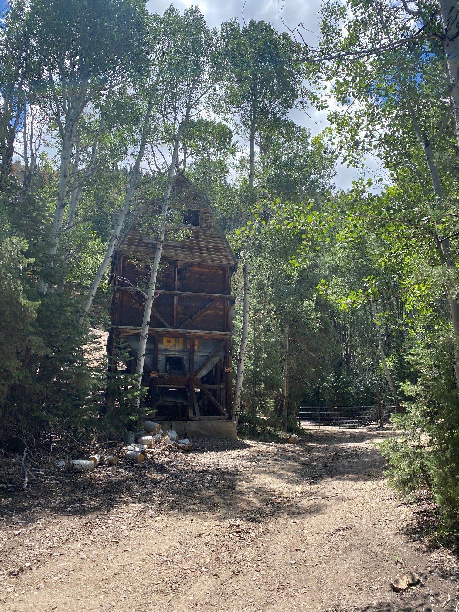
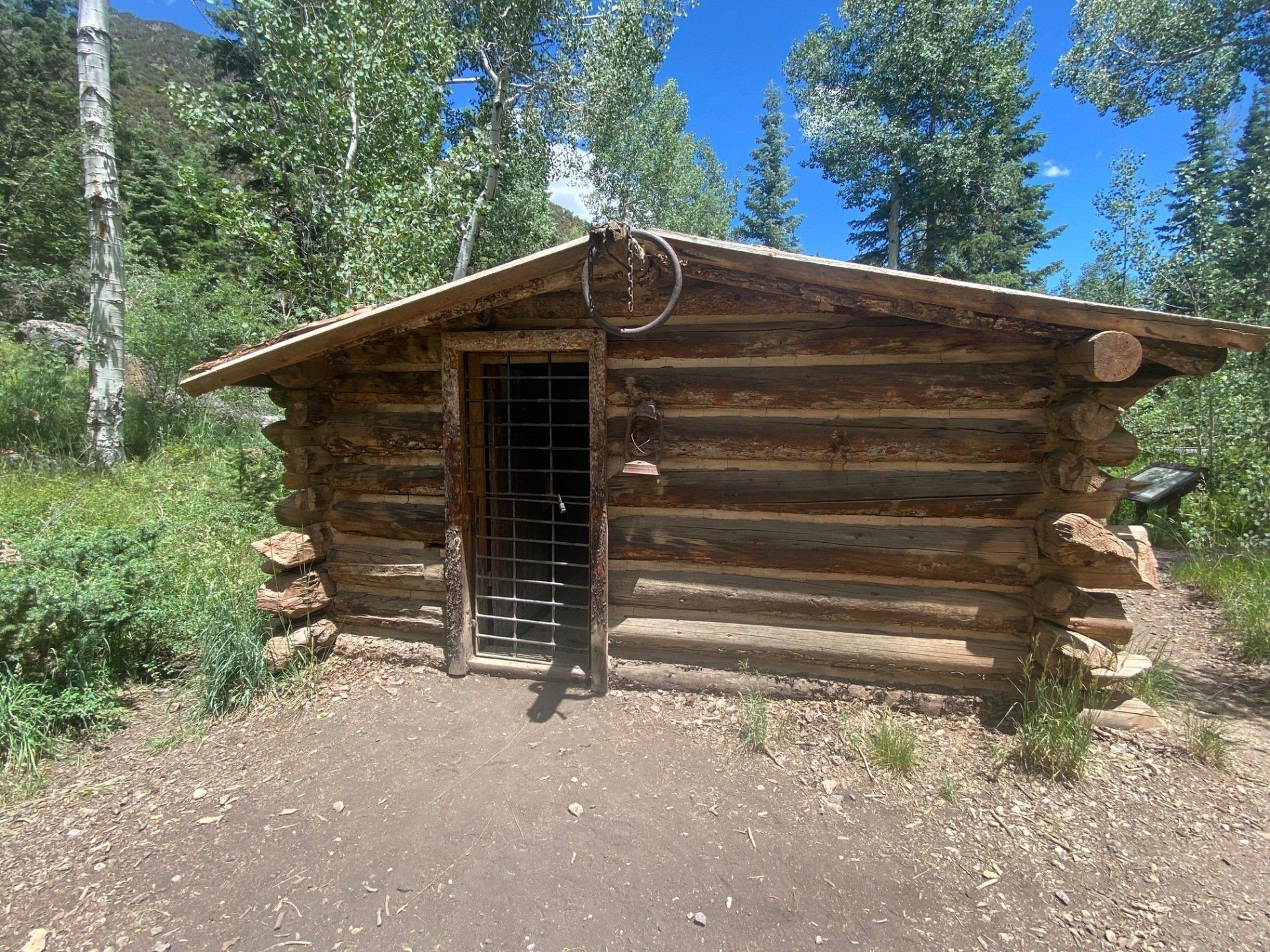
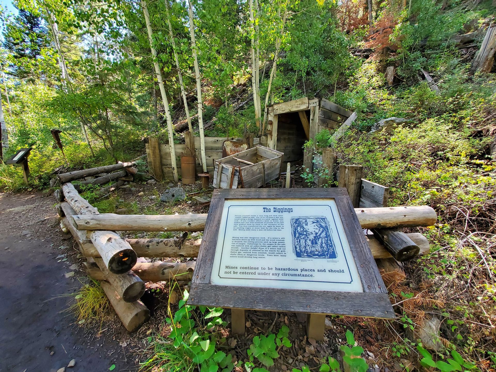
Miners' Park Historical Trail
The Miners' Park Historical Trail begins in front of the wooden mine car. The trail continues to climb into the trees. For .25 mile, the trail goes past 16 displays of mining equipment, reconstructed workings and a refurbished cabin. There is a picnic area across the road from the Miners' Park, complete with tables and fire rings. Please pack out all that you bring in. For a scenic walk, a 2 mile round-trip trail begins at the bridge below the Bully Boy Mill. This trail follows the north side of the creek to an overlook above the Bullion Canyon water falls. These 60 foot falls are especially spectacular in the early summer when runoff swells the volume of the creek.
For those who enjoy touring by auto, turn right onto Forest Road 126 by the Bully Boy Mill. This 10 mile journey will take you near the 11,500 foot summit of Mt. Brigham and down through Cottonwood Canyon to U.S. Highway 89 just south of Marysvale. Be assured, the scenery is breathtaking. The road to Cottonwood Canyon is generally free of snow from mid-July to mid-November. The road tends to be rough in spots and higher clearance vehicles are recommended.


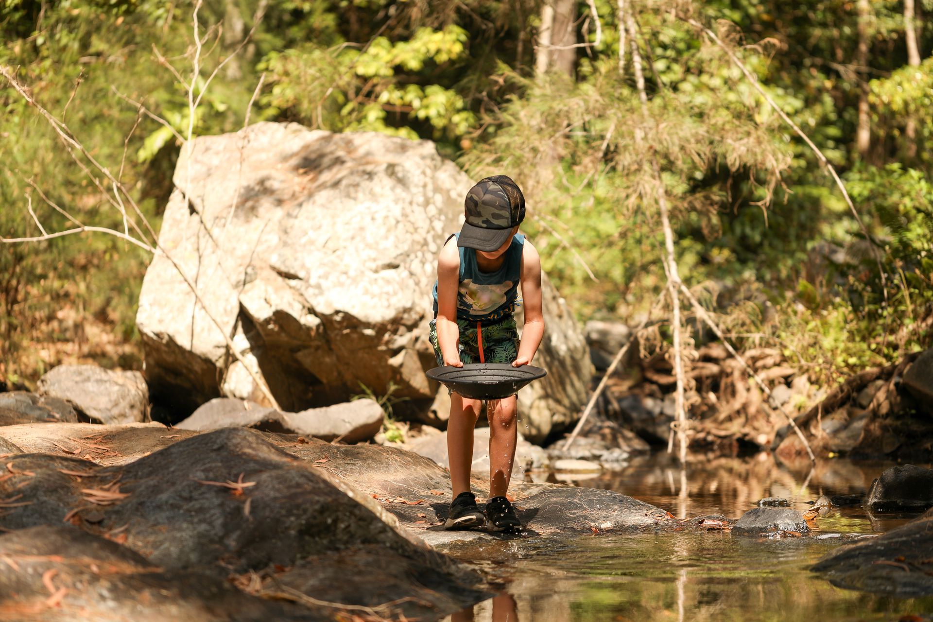
Gold-Panning in Marysvale Creek
Embedded within the historic gold mining district, Marysvale Creek situates itself in the scenic landscape of Piute County. Steeped in a rich history of gold production, this creek was a crucial player in the late 19th century’s gold mining boom.
With its rushing waters carrying the promises of gold, Marysvale Creek played a significant role in shaping the local economy and community. Fast forward to today, the glimmering allure of gold persists in this rustic locale.
The waters of the creek, especially around the mouth of Bullion Canyon, are known to harbor this valuable mineral. This area, renowned for its unique geological formations, has proven to be a promising spot for panning activities.
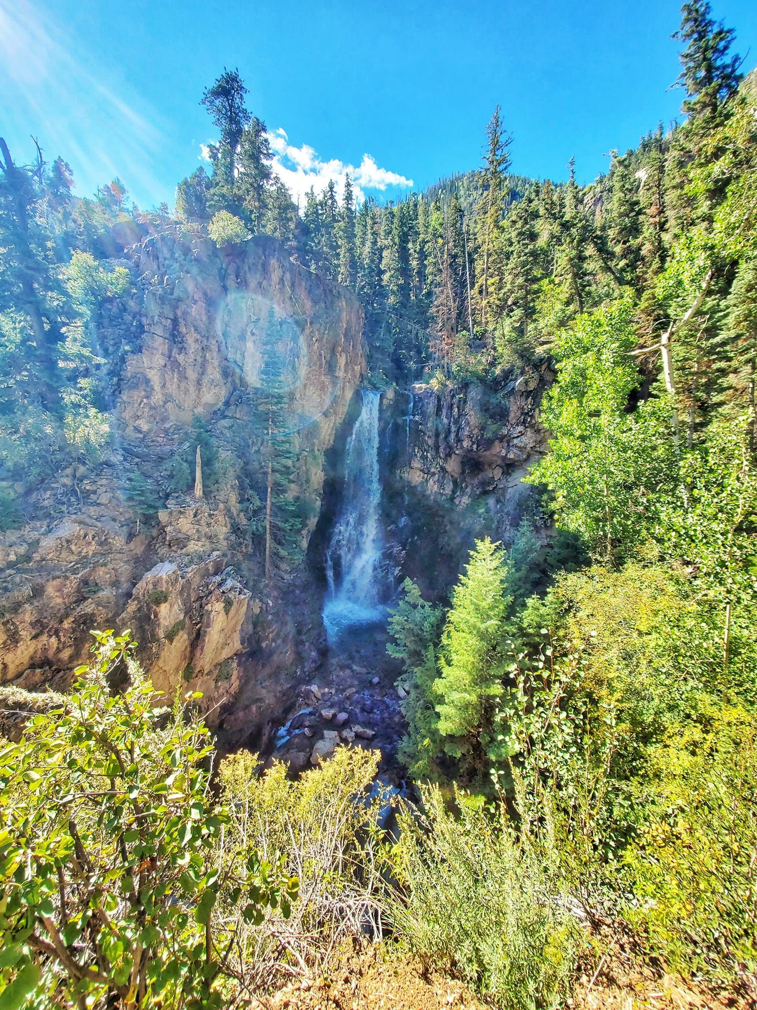
Bullion Falls Trail
Explore this 2.0-mile out-and-back trail near Marysvale, Utah. Generally considered a moderately challenging route, it takes an average of 1 hour to complete. This trail is great for birding, hiking, and horseback riding, and it's unlikely you'll encounter many other people while exploring. The best times to visit this trail are May through September. Dogs are welcome and may be off-leash in some areas. Trailhead starts across the cedar bridge at Miners Park. There's a 60 foot waterfall at the end, plus another waterfall on your left halfway up the trail. The road leading to the trail is full of rocks. When you reach the sign for Miners park the trail is on the right.
More Attractions & Activities
Monroe Mystic Hot Springs
16 miles
The mineral-rich waters located in nearby Monroe, consists of concrete pools and vintage cast iron bathtubs. The temperatures of the soaking areas are usually between 99-110 degrees Fahrenheit. There is no sulfur in the mineral water, so washing off after soaking isn’t necessary.
Harv’s Drive In: Old Time Drive In theater
2588 N Vermillion Canal RD Sigurd, UT
$7.00 per person, 5 and under are free. Movies start when it’s dark.
Kodachrome Basin State Park
93 miles
This geological wonder features 67 monolithic stone spires, also known as sedimentary pipes. Their sandstone layers were formed over 180 million years time and feature multiple desert-colored hues.
Mossy Cave Trail
78 miles
Located just under a mile in distance, the Mossy Cave Trail offers an effortless hike that takes you in and back out again. This scenic trail not only grants access to the enchanting Mossy Cave, but also treats hikers to the mesmerizing waterfall and babbling stream that adorn its path. With its captivating surroundings, this area is a delightful adventure for individuals of all ages.
Red Hollow Canyon
100 miles
Near Kanab and Zion National Park, is this hidden slot canyon gem. It twists and turns before reaching a dead end where it is required that you turn around and head back out. It's perfect for amateur hikers and is only about 2 miles round-trip!
Skyline National Recreation Trail
18 miles
A moderately easy day hike along the “skyline” of the Tushar Mountains with spectacular views of several ranges to the east and west.
Meadow Lava Tubes
67 miles
Embark on this moderately challenging hike to a cave that was once a lava tube. Dogs are welcome. Be careful of the jagged rocks and be sure to bring a flashlight.
Meadow Hot Springs
63 miles
Meadow Hot Springs, a dog-friendly oasis open all year round, offers three delightful soaking areas. It's the perfect reward after a brisk and invigorating half-mile hike. The temperature hovers around a soothing 100 degrees Fahrenheit.
Fishing & Boating
in the area
The area surrounding Big Rock Candy Mountain Resort is rich with fishing and boating opportunities in local streams, rivers, and lakes. Fly fish in the Sevier River, at Clear Creek, or in the many secluded high mountain lakes. Cast your line from your boat or from the shoreline of many reservoirs, or simply enjoy boating or jet-skiing with your family.
Rock Hounding
Sevier County
| LOCATION | ROCKS & MINERALS |
|---|---|
| Fish Lake | Opal |
| Glenwood, NE | Anhydrite, Geodes (chalcedony), Gypsum, Halite, Selenite |
| Henry Mining District | Hematite, Limonite, Pyrolusite, Magnetite, Thorium, Fluorite, Apatite, Albite, Calcite, Chalcedony, Diopside, Epidote, Garnet, Galena, Quartz, Rutile, etc. |
| Sigurd | Anhydrite, Gypsum, Halite, Selenite |
| Monroe Canyon | Brockite, Jarosite, Monazite, Thorite |
| Rock Candy Mountain | Alunite, Jarosite, Limonite, Pyrite, Selenite |
| Salina Creek | Azurite, Chalcopyrite, Galena, Malachite, Sphalerite |
| Sevier Canyon | Azurite, Copalite, Malachite |
Piute County
| LOCATION | ROCKS & MINERALS |
|---|---|
| Tushar Mountains | Calcite (fluorescent) |
| Alunite Ridge | Alunite |
| Antelope Range | Limonite, Pyrolusite, Torbernite |
| Circleville Mountain | Stellerite |
| Deer Trail Mountain | Alunite |
| Gold Mountain | Alunite, Barite, Garnet, Gypsum |
| Marysvale, area mines | Cinnabar, Alunite, Albite, Biotite, Calcite, Chlorite, Pyrolusite, Barite, Fluorite, Goethite, Amethyst, Quartz, Selenite, Opal, etc. |
| Mount Belknap | Pyrolusite |
| Bullion Canyon, area mines | Azurite, Barite, Cerussite, Chalcopyrite, Fluorite, Galena, Limonite, Pyrite, Quartz, Pyrolusite, Selenite, Sphalerite, Sylvanite, Malachite, etc. |
| Sevier Canyon | Alunite, Anhydrite, Gypsum, Limonite |
Finding Selenite in Utah
Utah is among the most abundant U.S. states in selenite, with various locations across its borders worth exploring. Big Rock Candy Mountain is another beautiful place worth exploring to find selenite.
Piute County has numerous locations where you can find selenite in Utah. For example, you can visit Marysvale and search for selenite in the many surrounding area mines. The area mines around Bullion Canyon are also filled with selenite.
Utah National Parks
Big Rock Candy Mountain Resort is on the route of the famous “Mighty Five” National parks in Southern Utah:
Bryce National Park, Capitol Reef National Park, Zion National Park, Arches National Park, Canyonlands National Park.
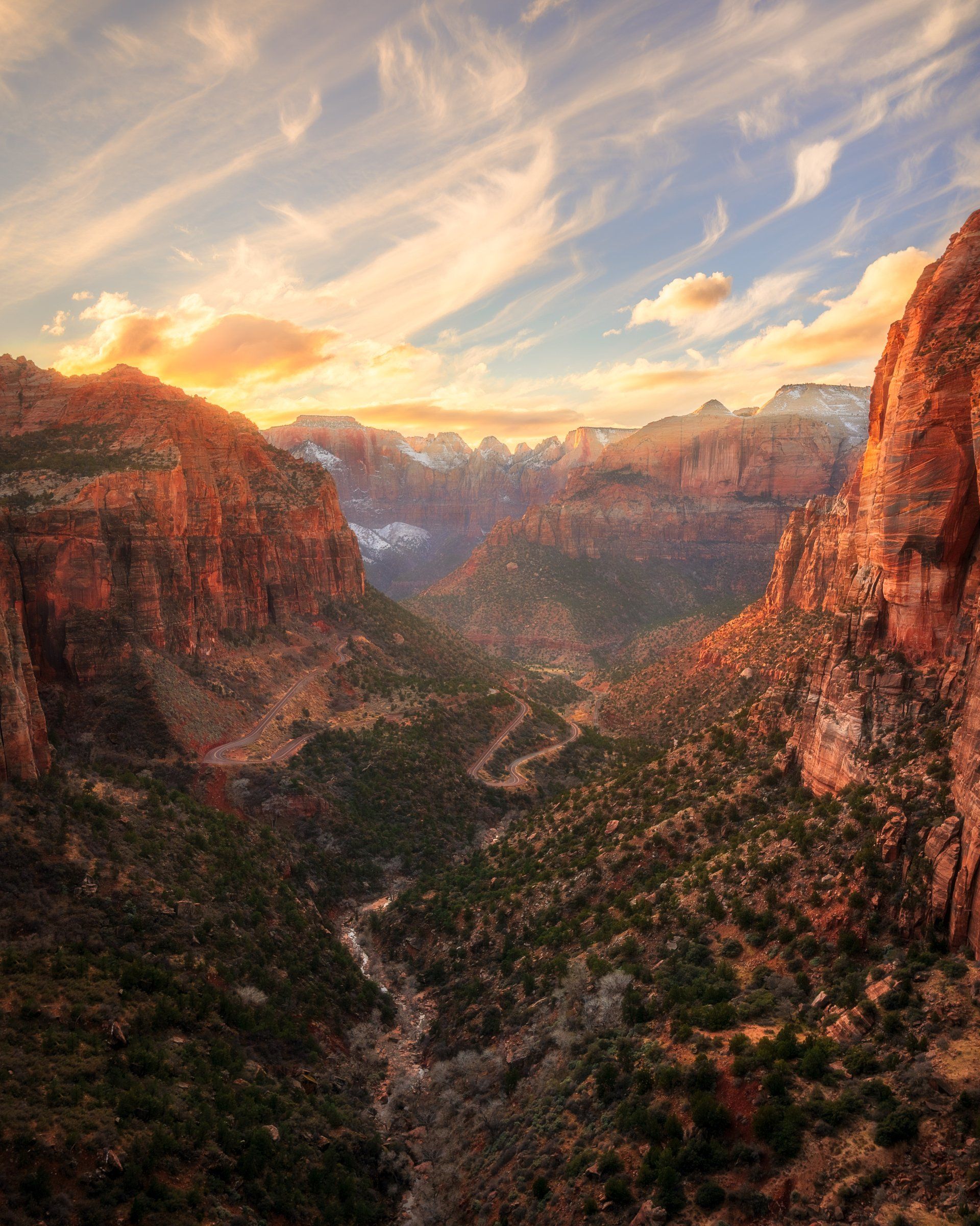
Zion National Park
116 miles
Utah's First National Park is loved by visitors for it's ancient history, breathtaking mountain panoramas, massive sandstone cliffs, colored scenic landscapes, world-class hikes and wildlife!
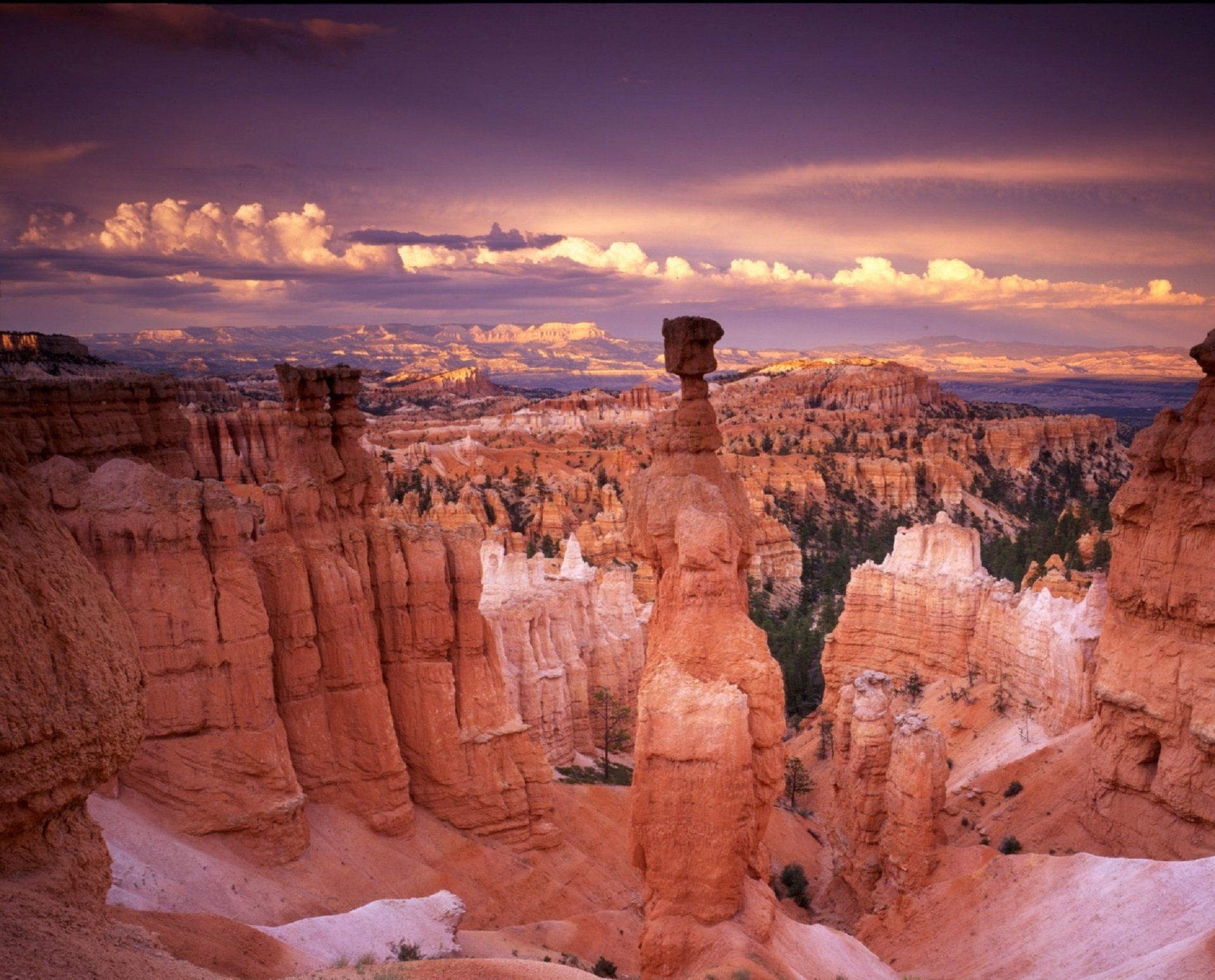
Bryce Canyon National Park
77 miles
Known for its forest of red rock hoodoos, Bryce Canyon is the closest of the 5 National Parks to Big Rock Candy Mountain. Located just an hour from the resort, this park makes a great day trip during your stay.
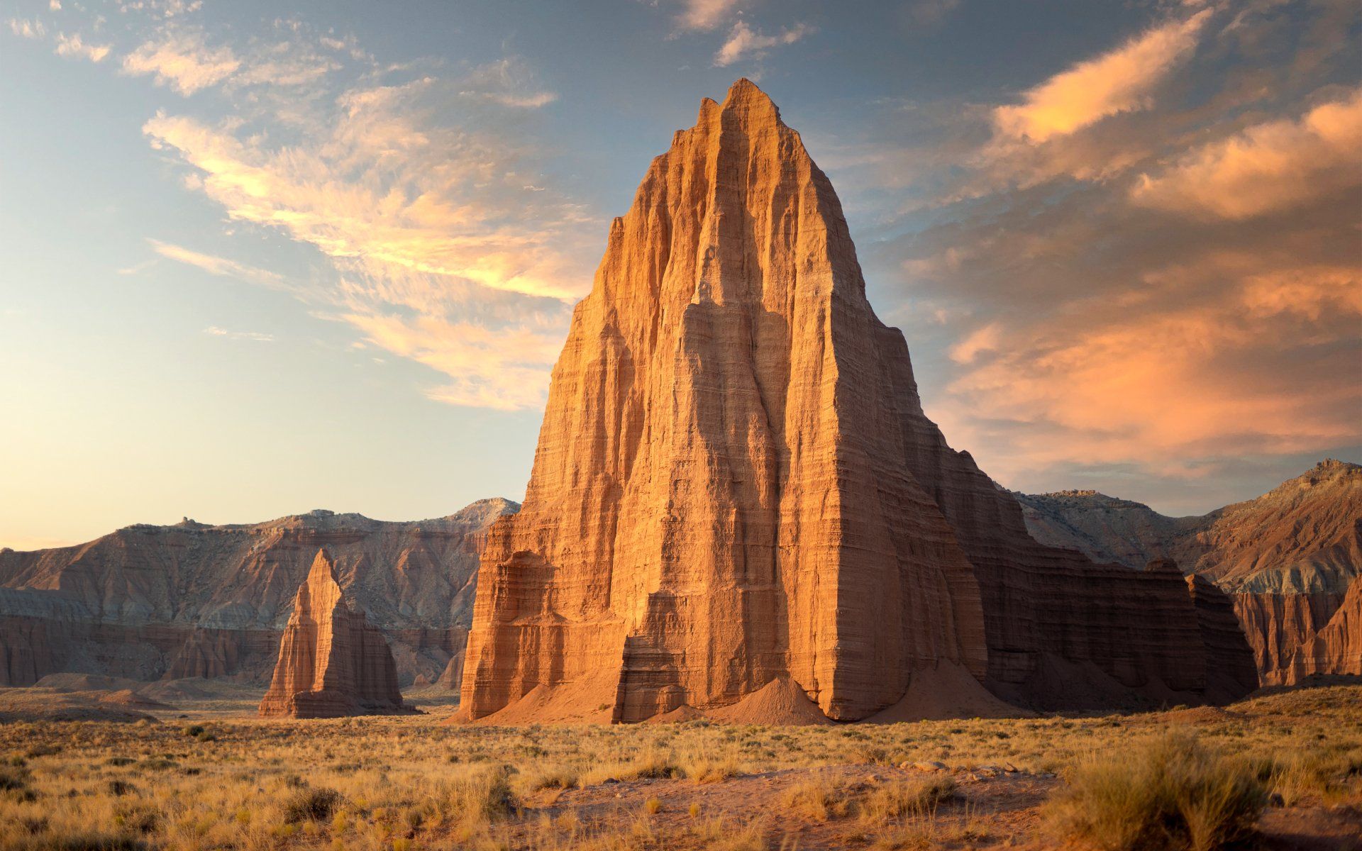
Capitol Reef National Park
91 miles
Capitol Reef National Park is located in the heart of Utah's red rock country. This geological treasure is filled with cliffs, canyons, domes, & natural bridges which extend for 100 miles.
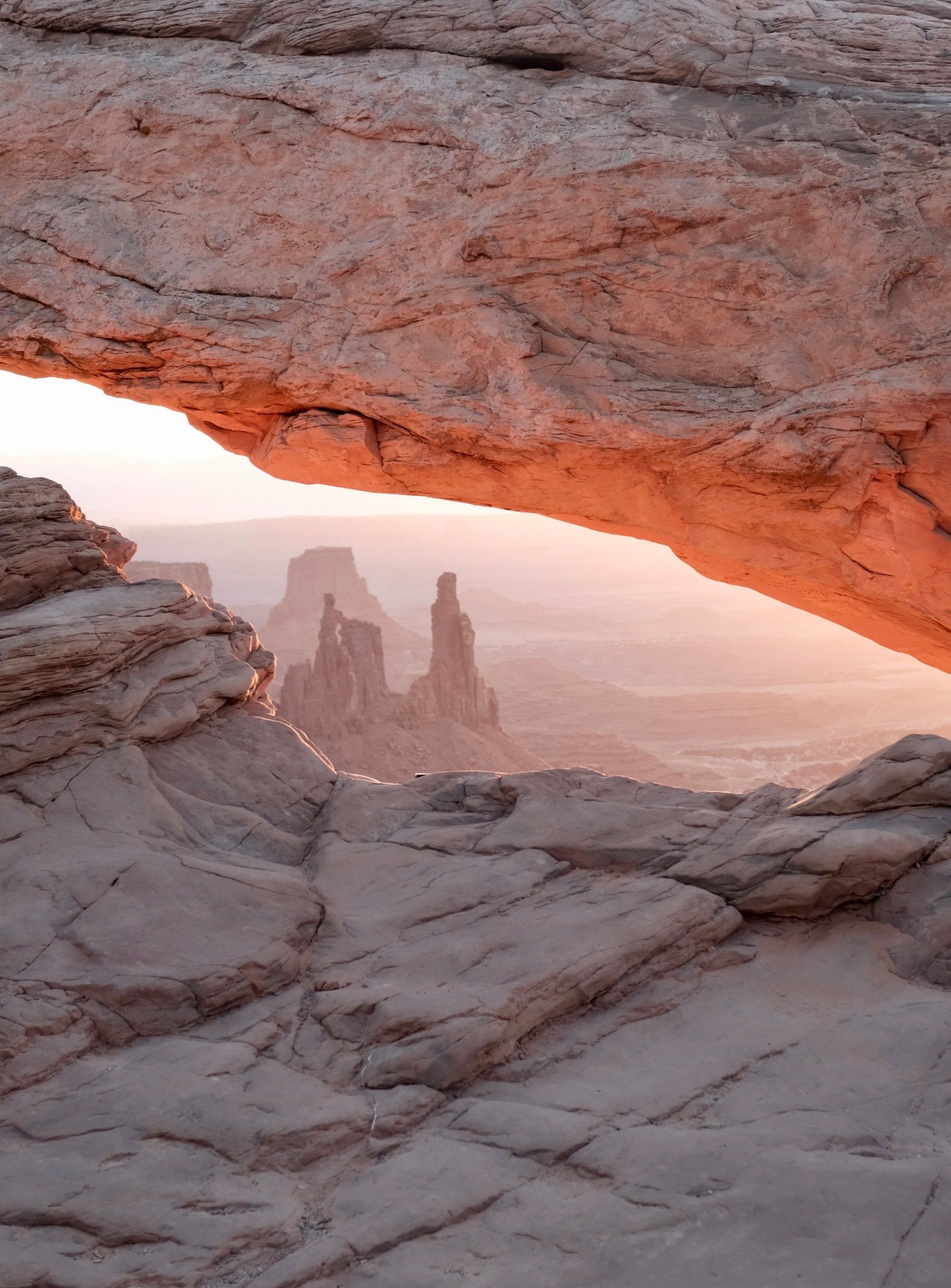
Canyonlands National Park
205 miles
Few places provide the freedom to explore remote canyons and colorful mesas, and buttes like the incredible Canyonlands National Park. It's a must-see that's worth the drive.
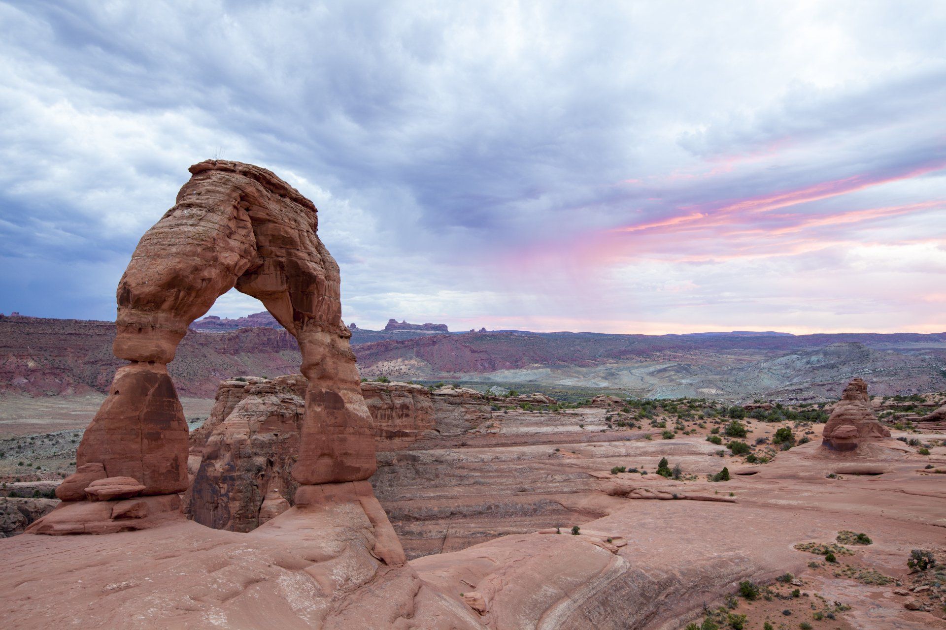
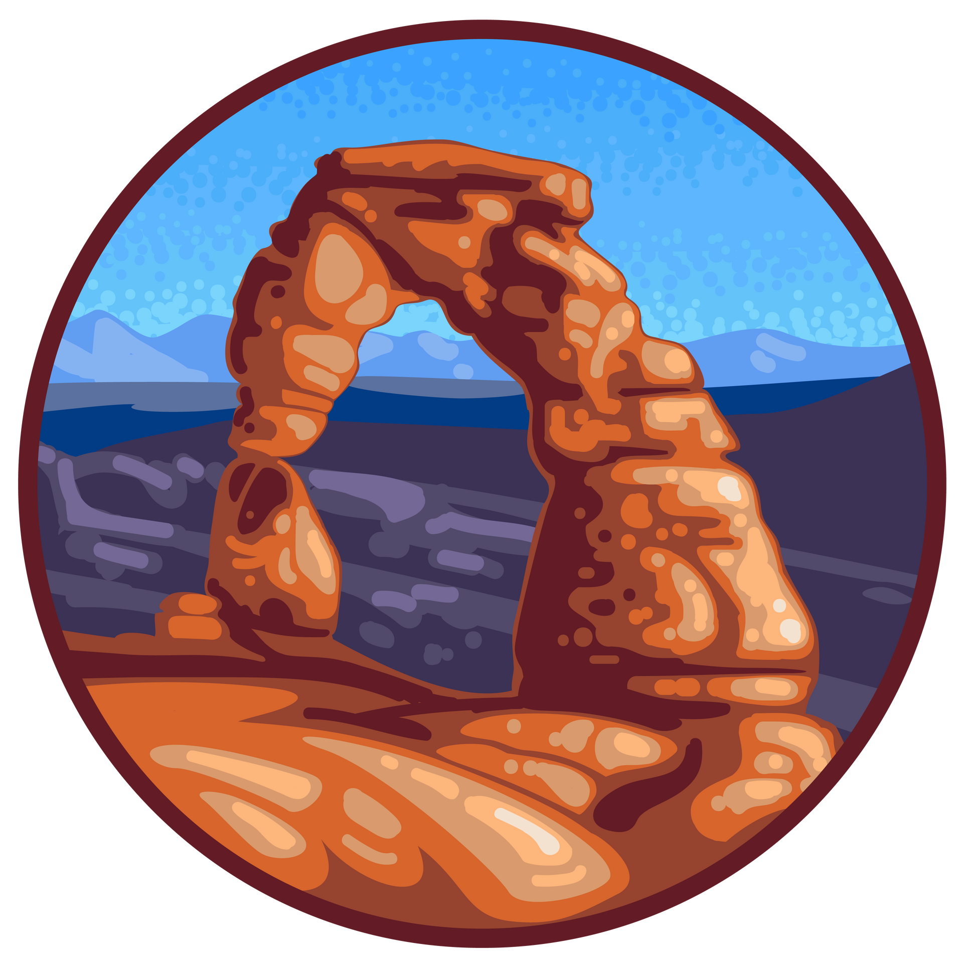
Arches National Park
200 miles
Located just outside of Moab, Utah, Arches National Park draws visitors from all over the world who marvel at the unique, spectacular naturally formed red-rock cliffs and wind-carved Arches.
If you head south on HWY. 89 from Big Rock Candy Mountain and travel 200 miles, you will end up at the North Rim of the Grand Canyon.
Grand Canyon National Park
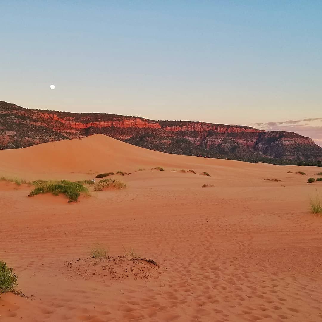
Coral Pink Sand Dunes
Right outside of Kanab and just 122 miles from Big Rock Candy Mountain, is the beautiful Coral Pink Sand Dunes. It's a spectacular sight to see and a recreational delight.
Slide title
Write your caption hereButton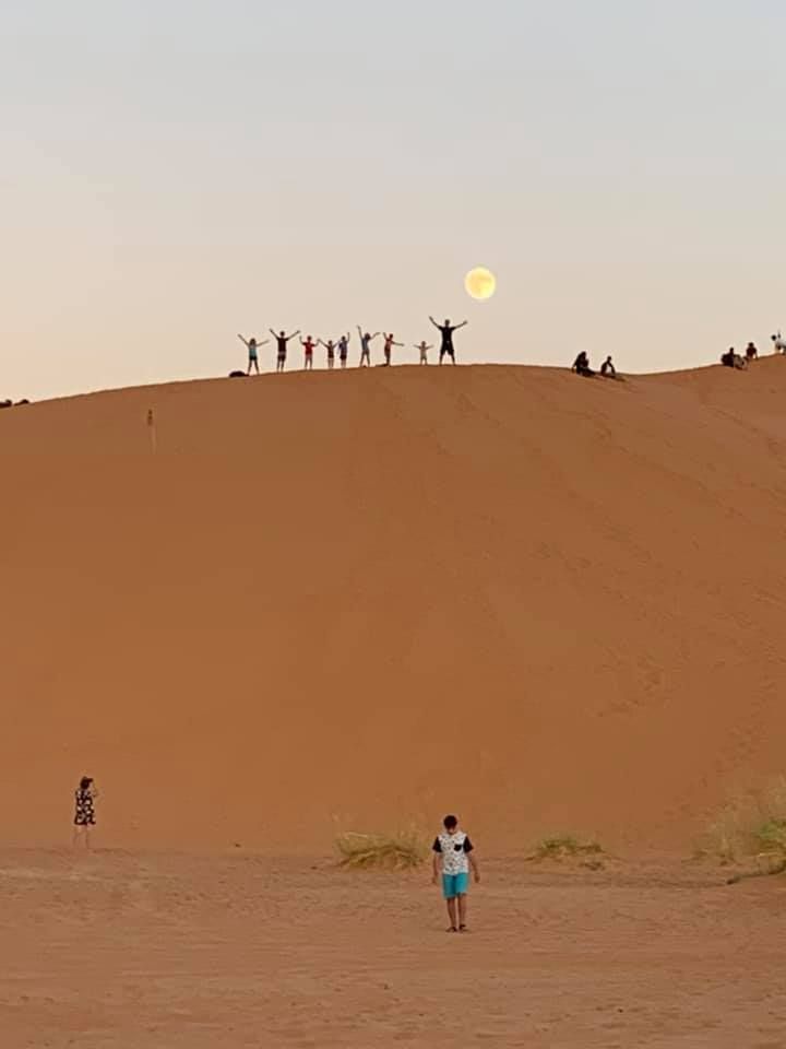
Slide title
Write your caption hereButton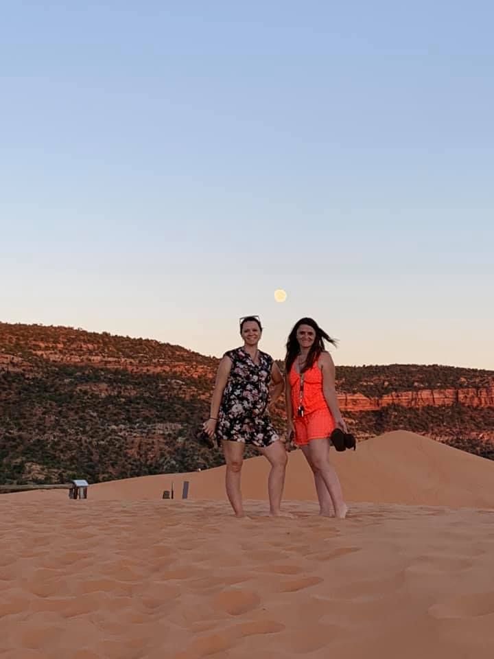
Slide title
Write your caption hereButton
Slide title
Write your caption hereButton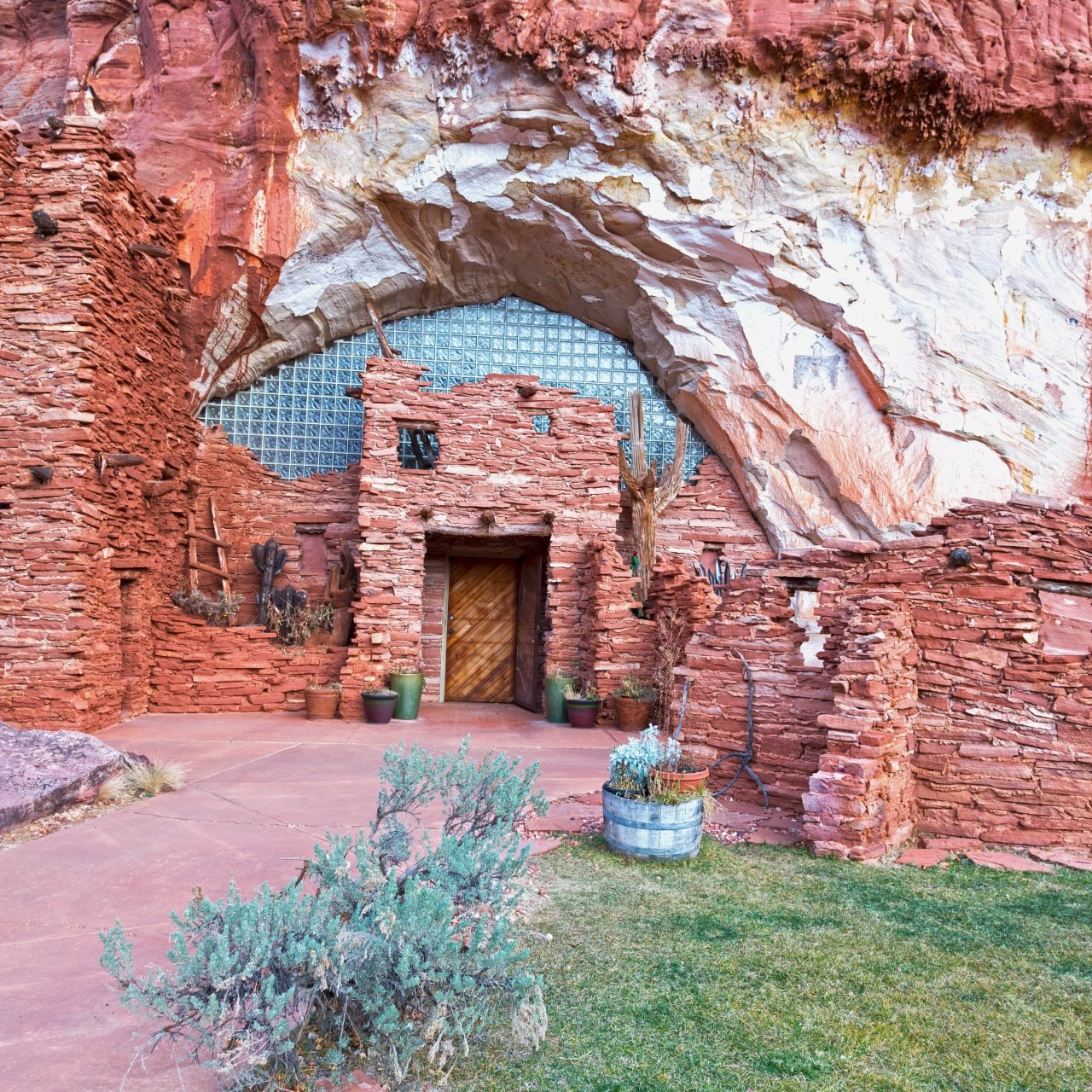
Slide title
Write your caption hereButton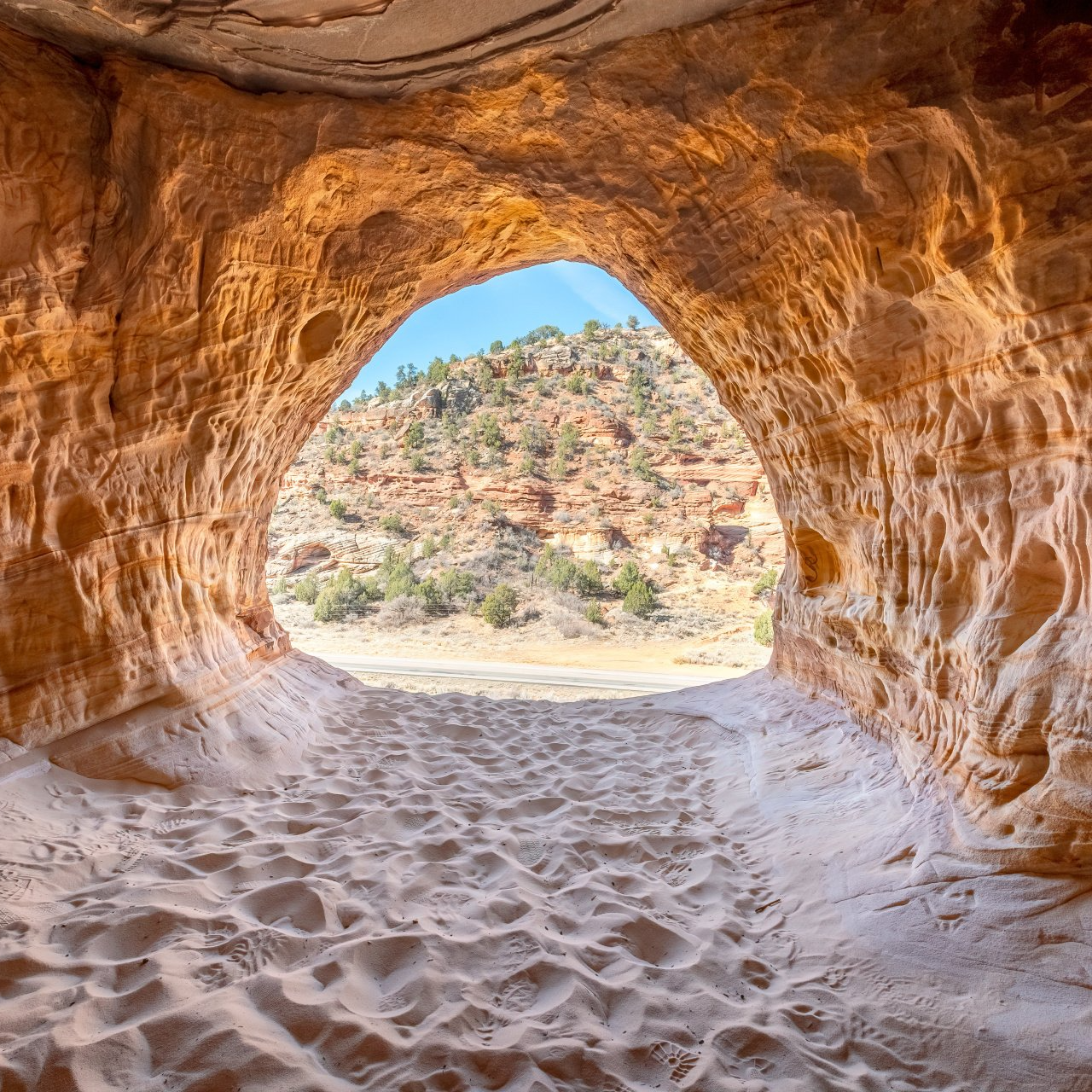
Slide title
Write your caption hereButton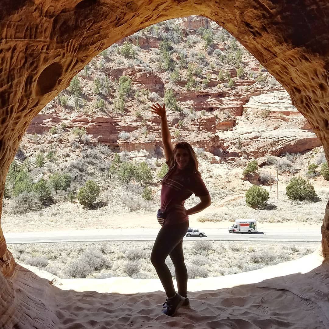
Slide title
Write your caption hereButton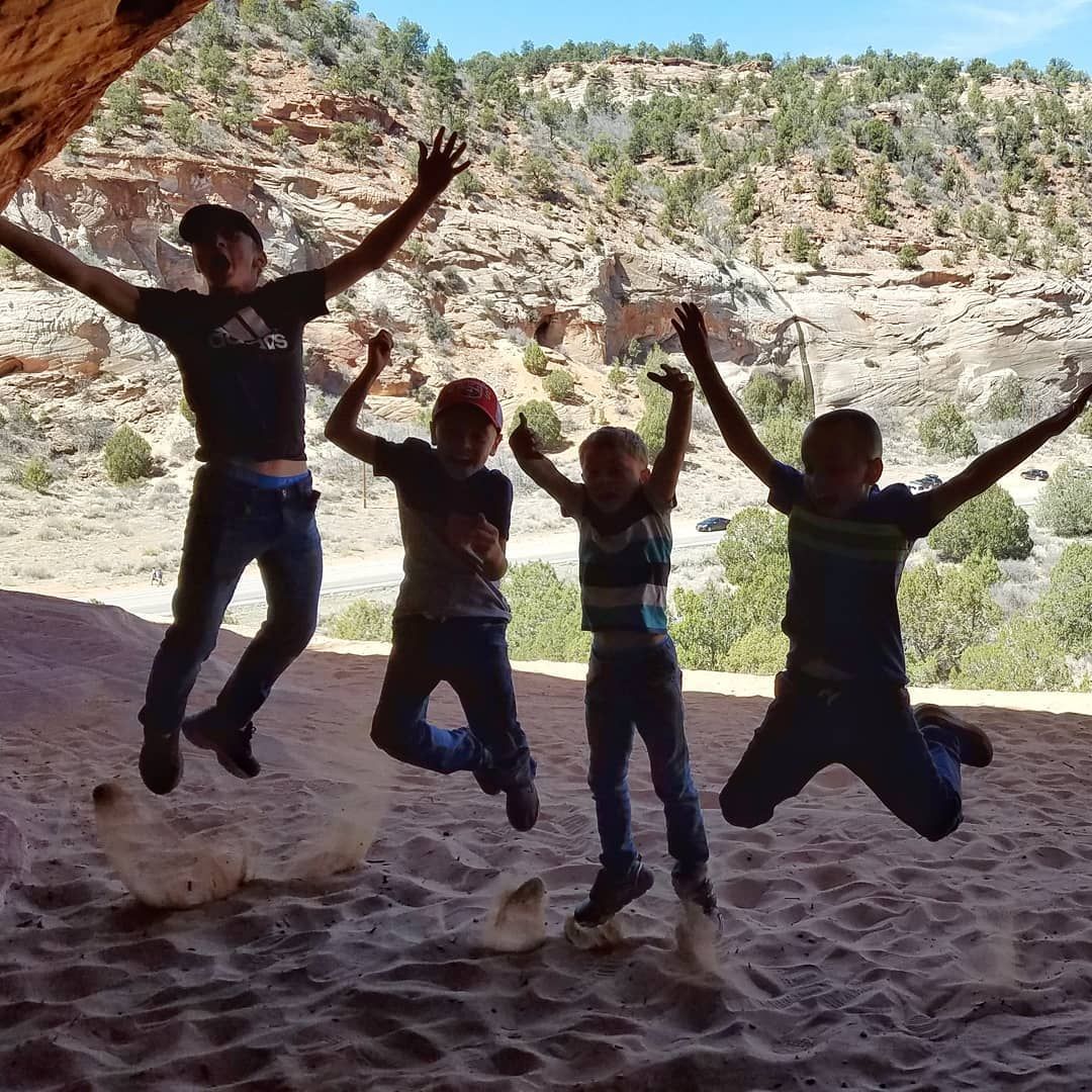
Slide title
Write your caption hereButton
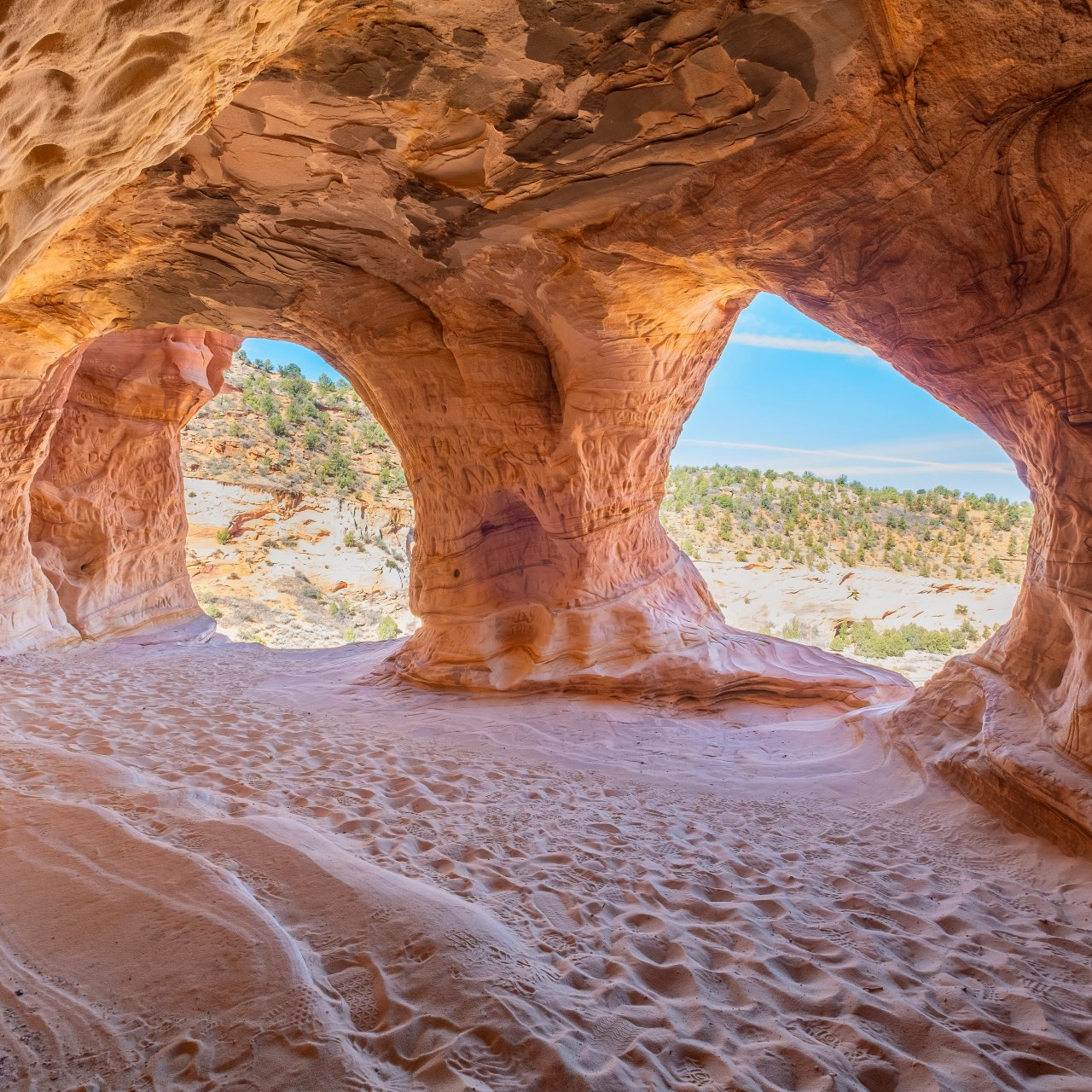
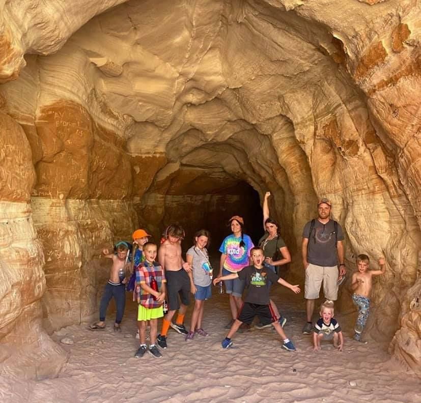
The Kanab Sand Caves
A quick 2-hour drive from Big Rock Candy Mountain, The Kanab Sand Caves, also known as the Moqui Caverns, can be a little tricky to get to but are worth the short hike up. Around the corner is a museum and former bar that houses a gift shop.
Slide title
Write your caption hereButton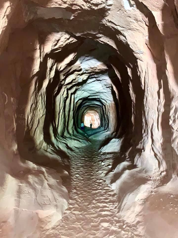
Slide title
Write your caption hereButton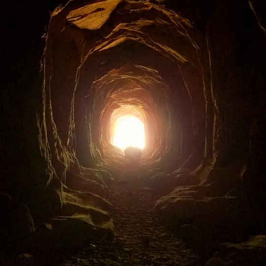
Slide title
Write your caption hereButton
Belly of the Dragon
153 miles south, outside of Kanab, tucked under the highway, is this magical place known as the Belly of the Dragon. It's a fun walk-through the whole family will enjoy.